
Title:
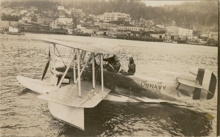
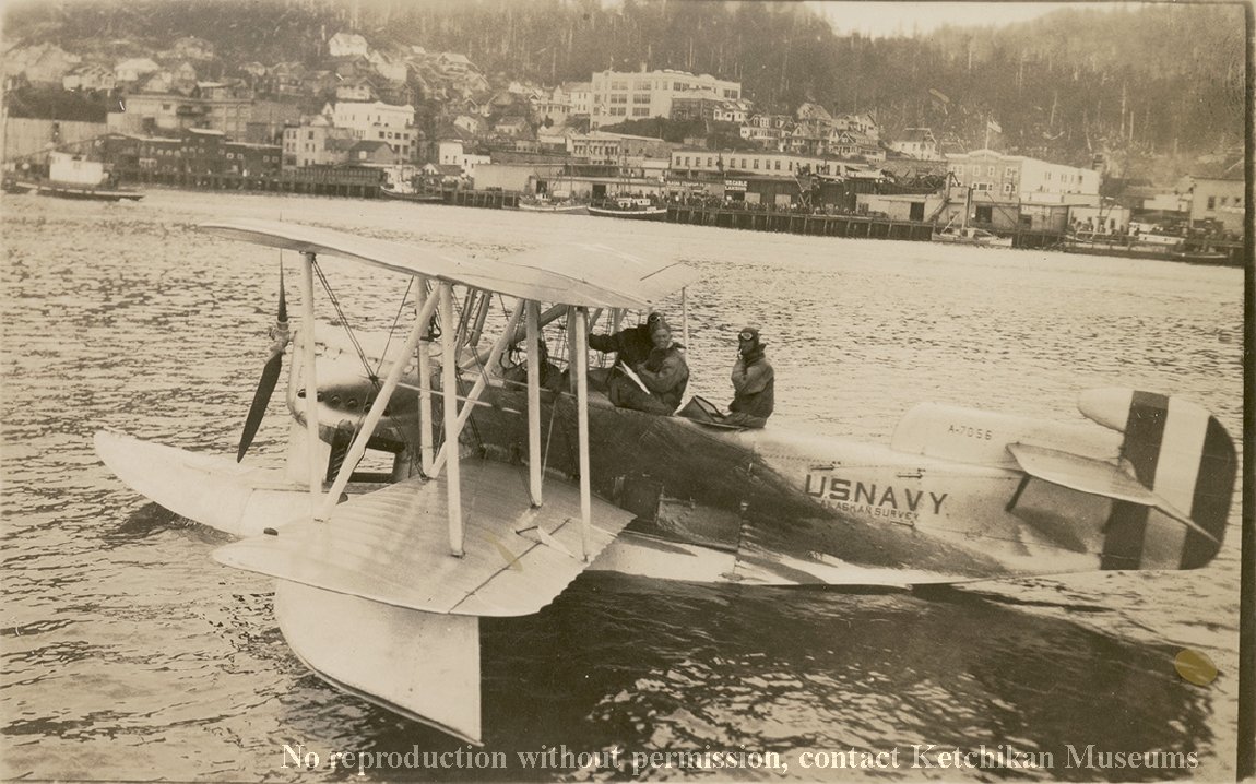
U.S. Navy Aerial Mapping Survey Expedition, 1926
Description:
One of three planes, this Loening OL-4 was part of an effort to survey Southeast Alaska. The technological advances from World War I made the creation of maps from aerial photographs feasible. The U.S. Navy supported the expedition because of the ease of supplying boats for the care of both men and planes. Two of the planes had a small observation hatch cut in the bottom of the fuselage, allowing room for the cameras. The third plane was on hand for emergencies.
Collection:
Ketchikan Museums: Tongass Historical Society Collection, THS 67.10.5.54
Click to Enlarge
 U.S. Navy Alaska Aerial Mapping Survey Expedition, 1926
 U.S. Navy Alaska Aerial Mapping Survey Expedition, 1926